
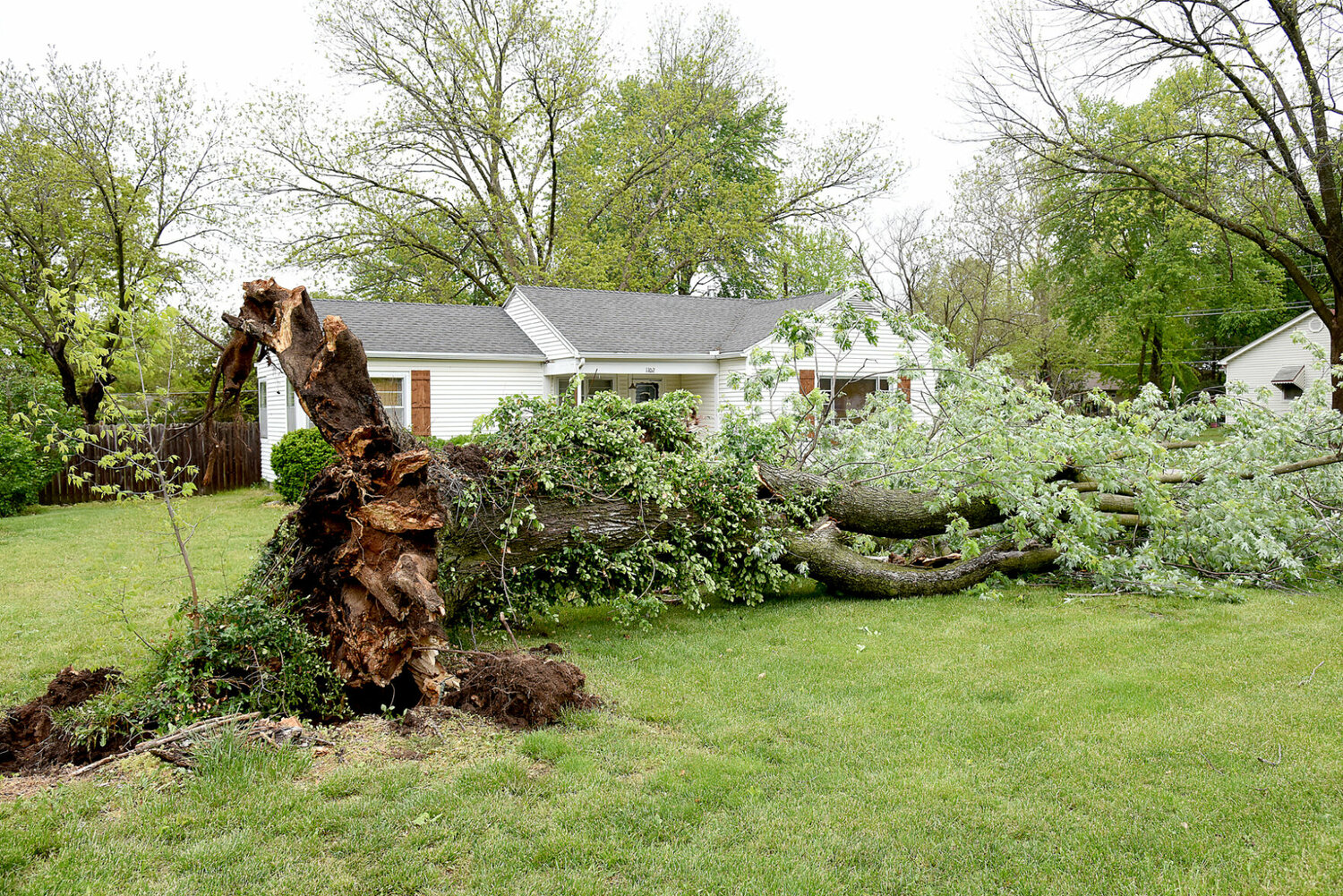
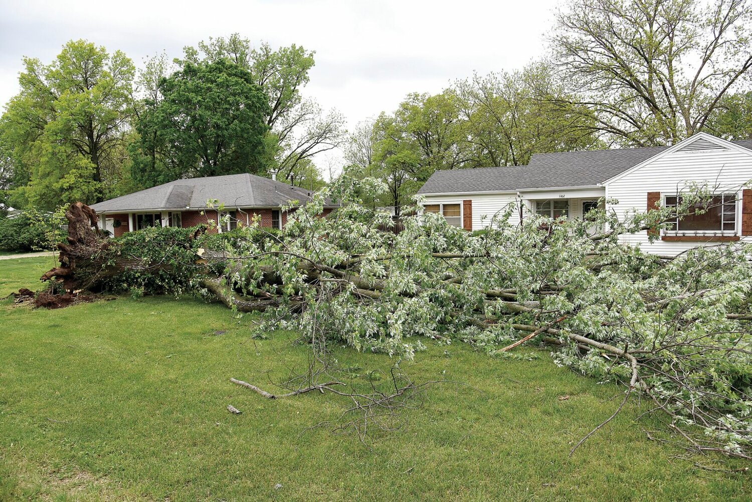
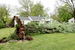

After the thunderstorms that hit Sedalia on Thursday, April 25 and in the early morning hours of Friday, April 26, Sedalians woke up to many trees and limbs down across the city.
On Thursday night, Sedalia experienced a significant wind and rain storm that caused many tree limbs to fall into the roadways. According to a Facebook post from the City of Sedalia, city crews responded during the storm to clear the streets and safely remove limbs that were not entangled in power lines. Two crews worked until 4 a.m. April 26 to remove 60 dump truck loads of limbs from the City right-of-way.
Crews continued to remove limbs from the streets, sidewalks and alleys throughout the day. In the post, the city thanked the crews for their hard work and dedication Thursday and Friday, saying they went and above and beyond to quickly clear the storm damage.
According to a news release, as a service for Sedalia citizens, residents who have tree limbs and branches in their yards due to the storm may move those limbs to the area between the sidewalk and roadway in front of their homes for pick-up by city crews over the next few weeks. Residents are reminded to keep debris out of the street and away from low overhead lines, trees, vehicles, utility poles and mailboxes. If possible, limbs should be cut to less than 6 feet in length to aid crews in picking up debris more quickly.
The release states that residents can also take tree debris and vegetation to the City’s Material Management Site, 27882 Highway U, which is open from 7 a.m. to 5 p.m. Monday through Sunday, with the exception of holidays.
The weather will continue to be unstable with Sedalia under a flood watch through Sunday afternoon. The National Weather Service is predicting severe thunderstorms possible for Saturday, April 27 and Sunday, April 28, which could bring large hail, damaging winds and tornadoes.
According to the NWS, there is a 30% chance of showers and thunderstorms Saturday, mainly after 4 p.m. That chance increases to 80% going into Saturday night. Some of the storms could produce heavy rain. Saturday’s high will be near 81, with a low around 63. It will be breezy, with winds from 17 to 21 mph and gusts as high as 34 mph.
On Sunday, there is a 90% chance of showers and possibly a thunderstorm, turning into a 60% chance in the evening. Sunday’s high will be near 72, with a low around 56. It will again be breezy, with winds from 18-26 mph and gusts as high as 39 mph.
Early next week is expected to be sunny, but a chance of rain is in the forecast Tuesday night, Wednesday and Thursday. All week, temperatures will have a high in the mid-70s to low 80s and lows in the 50s.


